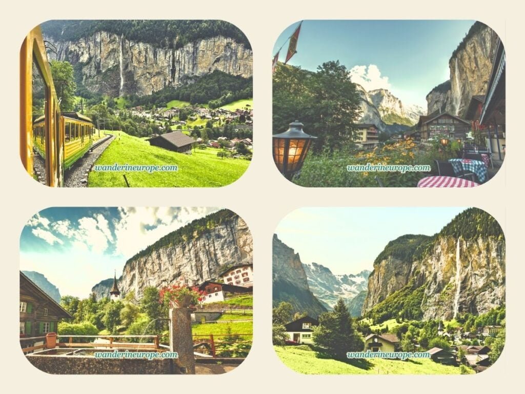
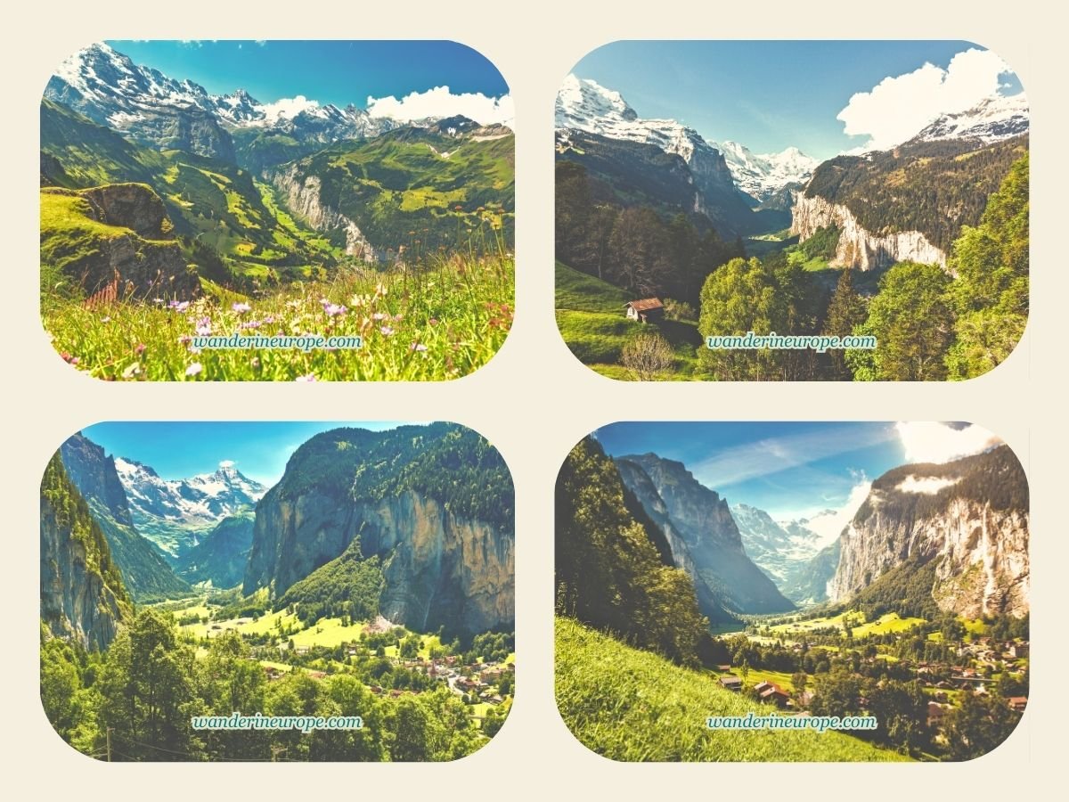
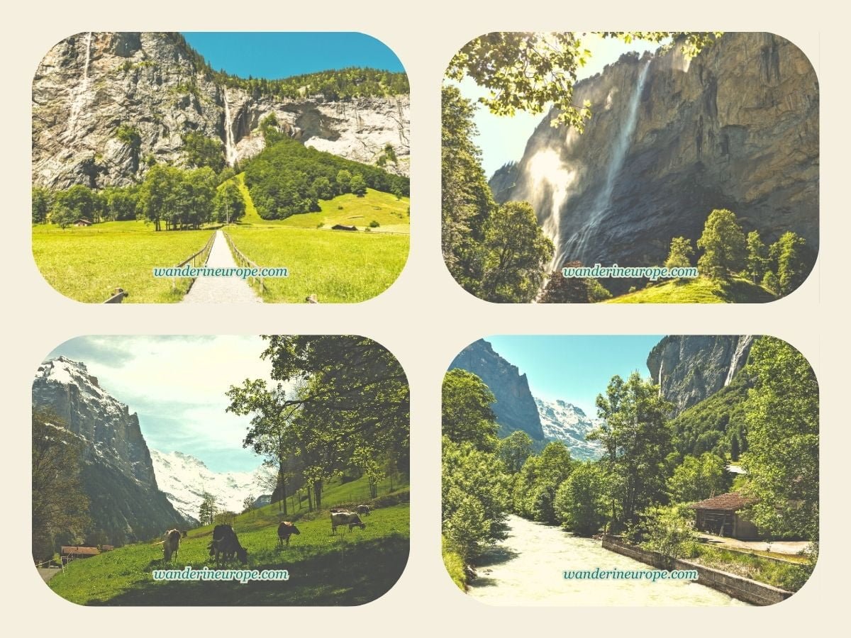
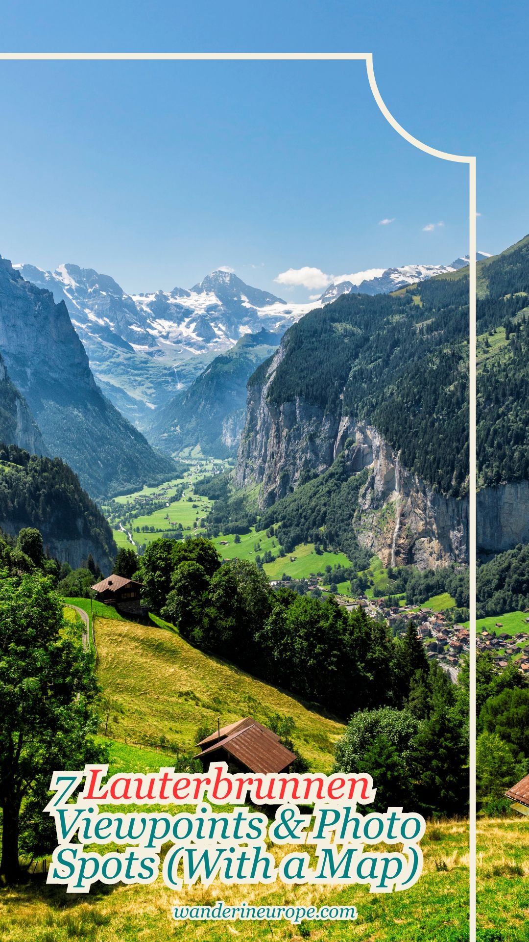
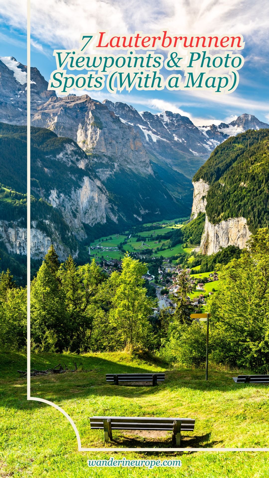
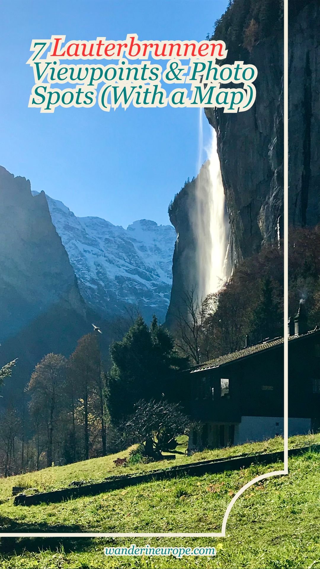
7 Lauterbrunnen Viewpoints & Photo Spots (With a Map)

Blog Design Lower Separator

Switzerland has a plethora of places manifesting such heavenly spectacles, from Mount Pilatus in Lucerne to Interlaken’s fairytale Lake Thun and turquoise Lake Brienz.

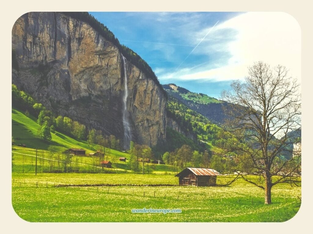
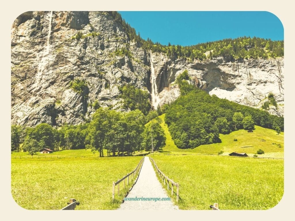
But nothing compares to the wonder of Lauterbrunnen’s trough-shaped valley, surrounded by snow-capped mountains with waterfalls plummeting on both sides. Absolutely magical!!!

Lauterbrunnen is my definition of heaven-on-earth. No words can justify the beauty it possesses. It is the ultimate destination in Switzerland, and you must not miss it no matter how long your Switzerland trip is.

Four days in Switzerland? A six-day Swiss journey? Two weeks? You have to see Lauterbrunnen.

This place is undoubtedly a once-in-a-lifetime destination, especially for travelers from the other side of the world like me. If you also consider Lauterbrunnen as your dream destination and don’t want to miss its most spectacular views, you no longer need to worry.

I’ll tell you where they are and I’ll also provide a map to guide you.

Okay… When I first heard about Lauterbrunnen, I was a little clueless.

I had no idea about Lauterbrunnen other than this: it was a picturesque valley with many waterfalls that inspired J.R.R. Tolkien’s Rivendell, the elven homeland in his Lord of the Rings series (my favorite!)…

Yep… That was simply it.

I did not know that it’s more than a valley and a picturesque part of the Alps. But, after exploring the place, I discovered a lot.

What I’ve discovered are gems. And you should be aware of them too.

In my exploration, I found that Lauterbrunnen is not just a valley.

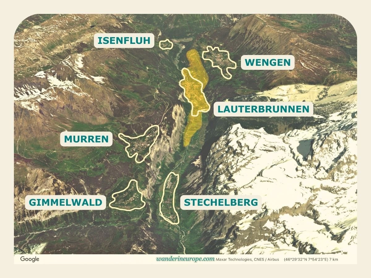
It’s also a picturesque village and a scenic commune made up of more villages and hamlets, all of which offer their own spectacular views.

The first village is, of course, Lauterbrunnen. It is the central village, located on the valley floor. It boasts the best views of Staubbach Waterfall.

Also on the valley floor of Lauterbrunnen is Stechelberg, a place surrounded by imposing valley walls. It’s a 15-minute bus ride from Lauterbrunnen village.

Isenfluh is another hamlet located west of the Lauterbrunnen village, overlooking the valley. It has great views, but other villages offer even more stunning scenery. You can get to Isenfluh by car or by funicular.

The village with the best overlooking view of the Lauterbrunnen Valley, however, is Wengen The view here is unbelievable! From the valley floor, you can also get there by funicular.

The fifth settlement in the valley is Mürren, which has amazing activities/attractions. It is the highest village in the Lauterbrunnen commune, with the best view of Monch, Eiger, and Jungfrau.

The last settlement is Gimmelwald, which is the most idyllic in the Lauterbrunnen commune.

You can get to Mürren and Gimmelwald from Lauterbrunnen village by bus then cable car via Stechelberg, or cable car then train via Grütschalp.

Lauterbrunnen is located 67 kilometers or 41 miles south of Bern in an area within Bernese Oberland called the Jungfrau Region — a spectacular place where you need spend 4 days (or more) to explore.

The closest town to Lauterbrunnen is Interlaken — the usual home base for exploring the Jungfrau Region.

From Interlaken, you can quickly reach not only Lauterbrunnen but also Grindelwald and other places in the Bernese Oberland like Thun, Oberhofen Castle and more.

Specifically, to reach Lauterbrunnen, begin at Interlaken (Interlaken OST) — the central transportation hub of the Interlaken-Oberhasli Region.

This hub provides direct train connections from major Swiss cities like Zurich.

Upon arrival at the Interlaken OST train station, a separate train ride, approximately 30 minutes long, will take you to Lauterbrunnen.

The quickest train from Zurich to Interlaken takes about 2 hours, while from Bern, the travel time is significantly shorter, typically under an hour.

If you’re driving to Lauterbrunnen, parking is available in the garage located behind the train station or at Kirche Lauterbrunnen.

If you’re coming from Interlaken, you’ll see street signs directing you to the parking lot just before you enter the village. Lauterbrunnen is a 20-minute drive from Interlaken.

Please note that the villages above the Lauterbrunnen Valley are car-free. You can leave your car in Lauterbrunnen to explore more villages and hamlets in the Lauterbrunnen valley.

Lauterbrunnen during summer in Switzerland

Before you visit Lauterbrunnen, it’s important to remember that it’s a natural attraction

Needless to say, the weather and the time of year you’ll be visiting Lauterbrunnen matter. If you want a high chance of seeing Lauterbrunnen under blue skies, mid-summer is the best time to go.

Typically dry, it’s also a great time for hiking to see more breathtaking views.

However, late spring and early summer are when Lauterbrunnen becomes truly picturesque. This is when the waterfalls in Lauterbrunnen appear thicker due to the enormous volume of water from the melting snow in the mountains.

For a truly stunning view, visit Lauterbrunnen in the morning (if possible, catch the sunrise).

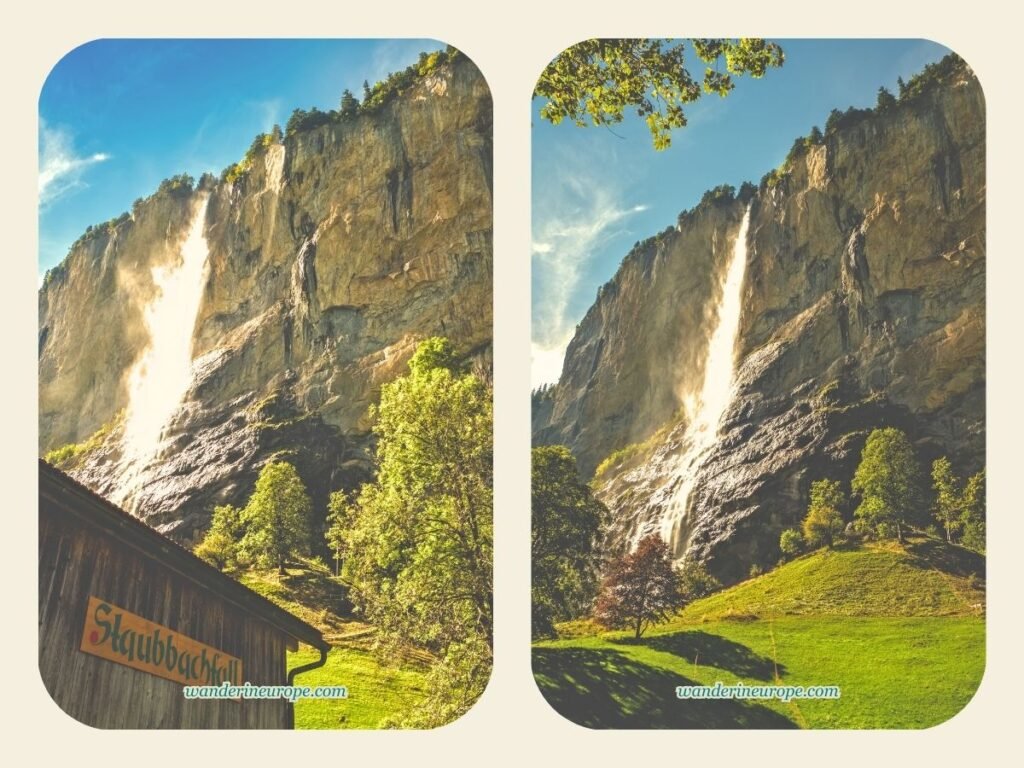
Staubbach Waterfall, located on the west side of the valley’s wall, is illuminated by the rising sun, making it appear like a giant glowing angelic white silk plummeting down the valley.

Switzerland is one of the most expensive countries to travel to, so I completely understand why most people try to squeeze as many destinations as possible into their short Switzerland trip.

Often, these travelers include Lauterbrunnen in their itinerary.

However, they only drop by the village to stroll down the main street, snap a photo of the Staubbach waterfall with the quaint chalets along the road, and then immediately leave for their next destination.

I’ve even asked several people on Instagram, “What do you suggest I should see in Lauterbrunnen?” They told me the same story that most people do, similar to what I’ve mentioned previously.

I felt sad because they could have visited more places in Lauterbrunnen where unforgettable views await! (As you might have read in my introduction of Lauterbrunnen, they are the different villages and small hamlets in the valley)

Additionally, these places aren’t difficult to reach, and they’re totally free to visit; there are no expensive train rides or sky-high admission fees.

1. In Front Of Chalet Pironnet

Even before you arrive in Lauterbrunnen, rewarding views will already fill your sight. Take Lake Thun as an example if you are coming from Bern.

However, at first glance, you can instantly tell that Lauterbrunnen is a place like no other. The dizzying, almost perpendicular limestone precipices surrounding the village are uniquely spectacular…

Where can you pause for a moment in Lauterbrunnen to admire the valley’s unique beauty?

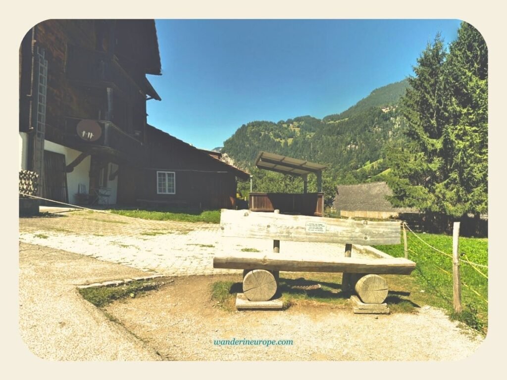
The spot is the wooden chair in front of Chalet Pironnet (building #438D). This viewpoint beside Chalet Pironnet is the most accessible vantage point in Lauterbrunnen.

9
10

Chalet Pironnet is only a few steps from Auf der Fuhren, the village’s main street.

Let’s say you’re currently at the Lauterbrunnen Tourism Office. Start walking in the direction of the Staubbach waterfall. Turn left onto the first street you see on your left. After a few steps, you should arrive in front of Chalet Pironnet.

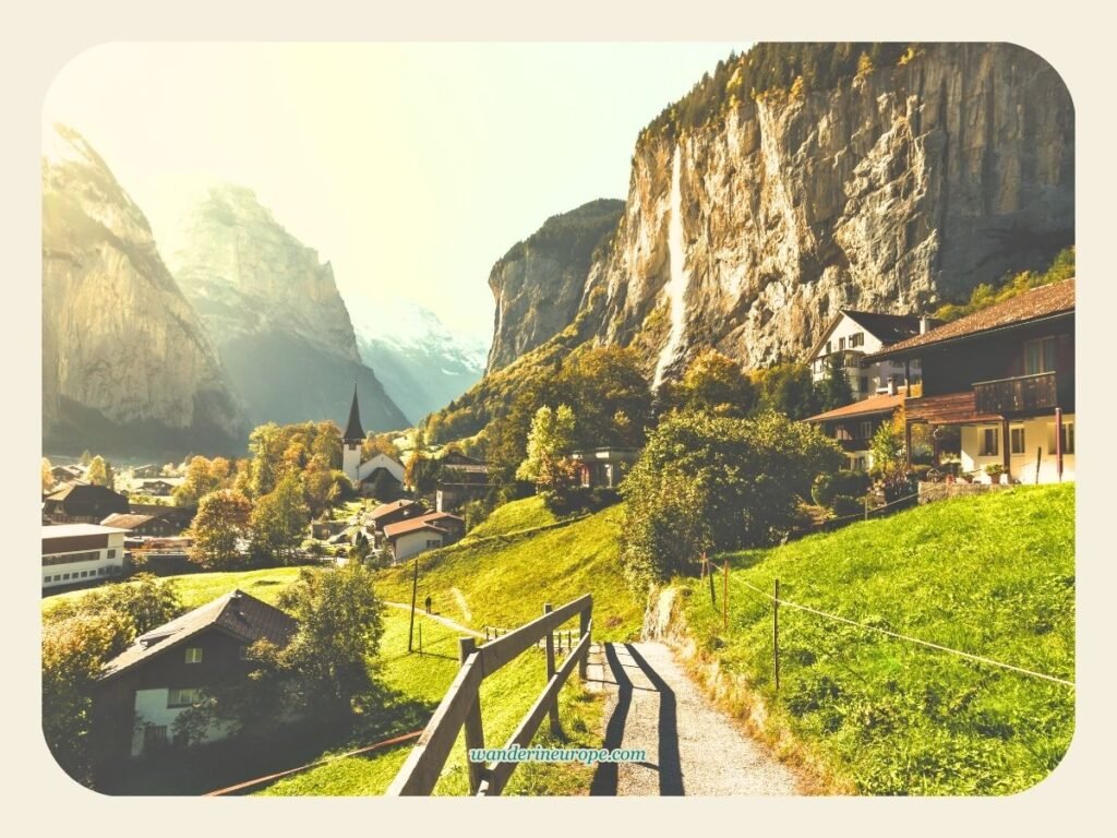
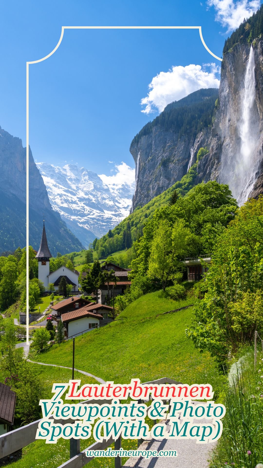
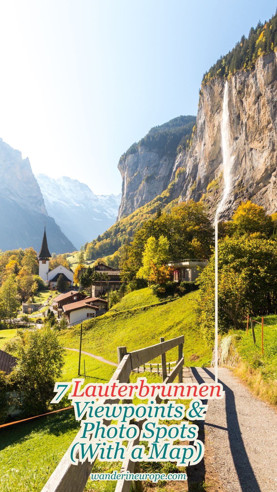
From this wooden chair, you can take in the iconic view of Lauterbrunnen.

The scene encompasses the village’s church, Staubbach waterfall, and snow-capped mountains. Also included in the scene is the path with a wooden handrail where couples capture their long-awaited romantic moments in Lauterbrunnen.

Note that this spot has become popular since it went viral on Instagram. Sometimes, you may have to wait a few minutes to see or photograph the view without photobombers.

Don’t worry if you can’t find an opportunity for a picture without photobombers. I’m sharing a secret spot in Lauterbrunnen where you can find similar views—you’ll find out about it later on.

2. Kirche Lauterbrunnen

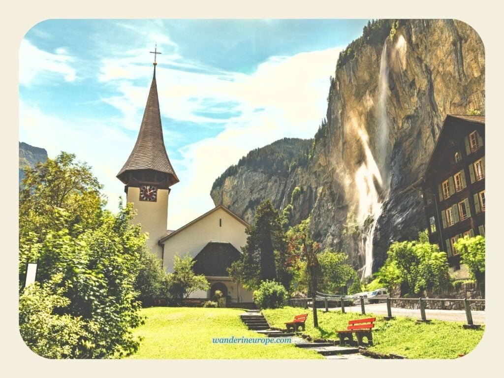
Kirche Lauterbrunnen, the village’s primary landmark, is another beautiful vantage point you should also visit.

While the view from the church isn’t as stunning as the scenery from Chalet Pironnet’s wooden chair, the small churchyard is undoubtedly a fantastic spot to capture dramatic pictures of the Staubbach waterfall

9
10

Finding and getting to Kirche Lauterbrunnen is simple.

From Chalet Pironnet, you can already spot Kirche Lauterbrunnen. Just continue walking on the paved path through the meadows, and you should reach the church after a couple of minutes.

What you might also appreciate about spending a moment in Kirche Lauterbrunnen is the ambient sounds you can hear in the churchyard.

As you sit and relax on the red benches, the soothing flow of the Weisse Lütschine River can be heard.

The calming and thundering cascade of Staubbach Falls is also audible from the churchyard.

The ringing of the church bells should give you goosebumps!

You can explore the churchyard to discover a few hidden gems, like the smaller church behind the main one, a unique sundial (the exact name is uncertain), and a quaint fountain nestled between the two churches…

Lastly, the churchyard is almost the perfect place to hang out for some wholesome relaxation in Lauterbrunnen.

It would be perfect if it were located farther away from the road to the parking lot, as the sound of car engines can disrupt the tranquility.

3. Along Stocki Road

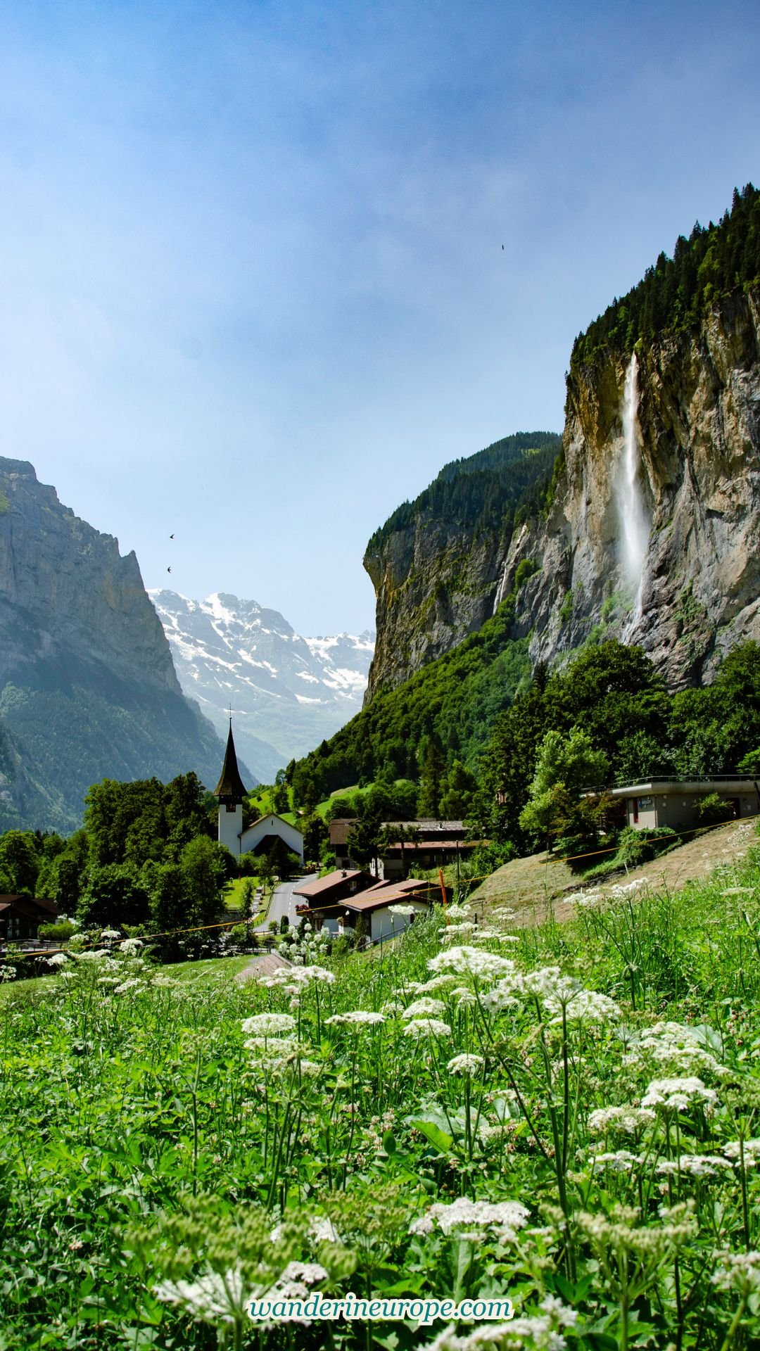
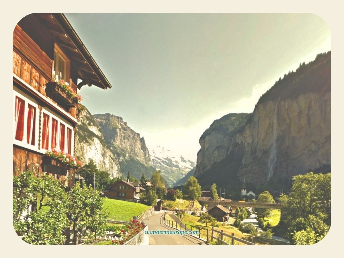
The view from Stocki Road is similar to the scenery from Chalet Pironnet but with a slight twist.

Not only can you see the Staubbach waterfall, Kirche Lauterbrunnen, and the snow-capped mountains from a higher viewing perspective, but from Stocki Road, you can also see the Weisse Lütschine River as if it’s flowing down from Kirche Lauterbrunnen.

9
View of the village and Staubbach waterfall from Stocki Road, Lauterbrunnen, Switzerland
View of the village and Staubbach waterfall from Stocki Road
10

The view I’m specifically referring to can be seen from the waiting area in front of Chalet 165.

This chalet along Stocki has a yard with growing flowers and vegetables.

Good to know: Unlike the viewpoint near Chalet Pironnet, you can behold the scenery of Lauterbrunnen from Chalet 165 almost without tourists all the time. The only downside is that there’s no shade or benches there. It’s a good spot for taking photos, but not so much if you want to hang out and relax.

Stocki Road is also the way to the local school of Lauterbrunnen. Although Stocki Road looks like an off-the-beaten-path spot, getting to that spot isn’t very complicated. In fact, it’s effortless!

To get to Stocki Road, you can also start from Chalet Pironnet.

  • From the chalet, begin walking towards the direction of Kirche Lauterbrunnen through the pathway in front of the chalet.
  • Once you reach the road (Im Rohr), start crossing the Weisse Lütschine River to your left.
  • Then, after a few steps, you will see a road junction near “Talmuseum.”
  • Turn left again, and you should arrive in front of Chalet 165 in one to two minutes.

Before I visit a destination, I usually check Google Earth to learn more about the place I’m planning to visit.

Often, I find something new and exciting that only a few people know about, such as a better viewing angle of a landmark or more scenic hiking trails.

In doing so, I also learn about the geography of my new destination.

I discover which parts of the town or city have higher elevations—places I specifically look for. They are likely to offer excellent viewpoints of the surrounding area.

That’s how I discovered Stocki Road and the seven best views in Bern.

4. Staubbach Falls

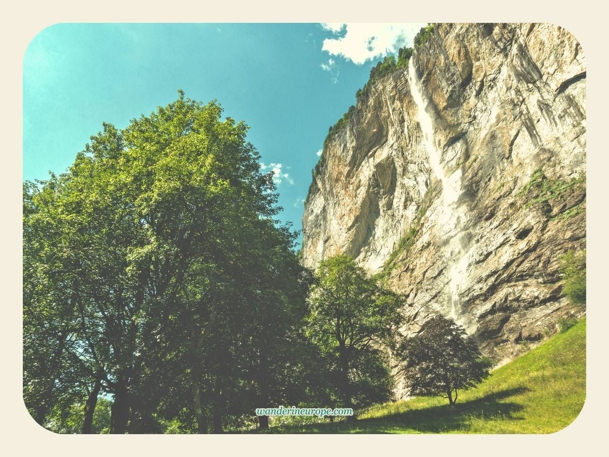
If you’re looking for a vantage point in Lauterbrunnen that offers a bit of adventure, Staubbach Falls is the place to be.

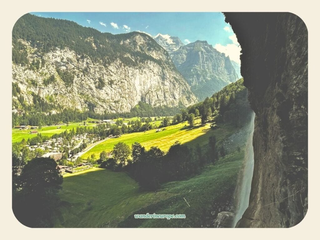
Did you know that you can climb the cliff wall behind Staubbach waterfall and enjoy a unique view overlooking the Lauterbrunnen Valley?

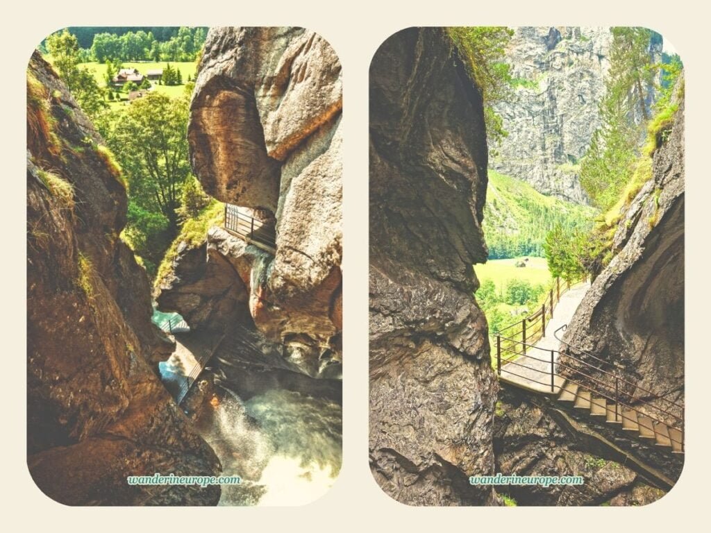
Yes, you can! There’s a hiking trail from the village to the grottos behind the waterfall. These grottos have openings that serve as viewpoints.

9
10

The scenery from Staubbach waterfall primarily features the formidable granite rock face of the Jungfrau massif, which acts as the valley wall.

The chalets dotting the green meadows and a portion of Lauterbrunnen village are also included in the view.

Of the viewpoints in the Lauterbrunnen valley on this list, this is the last one I would recommend if you’re looking for epic scenery like what you can see from Wengwald (you’ll see it next).

However, climbing Staubbach waterfall is definitely something you can try, especially since entry to the waterfall’s grottos is free.

Also, it’s a rare experience to hike behind one of Europe’s tallest waterfalls, don’t you agree?

Staubbach waterfall, according to Wikipedia, stands at nearly a thousand feet. Can you imagine how tall that is?

Getting to the trailhead of Staubbach waterfall is a no-brainer since it’s visible from all over Lauterbrunnen village. Simply walk in the direction of the waterfall, and you should arrive at its base even without using a map.

If you’re coming from the train station, you can expect a 10-minute walk before you reach the trailhead of Staubbach waterfall, which is located beside Lauterbrunnen Cemetery.

The landmark for the trailhead is a large wooden bench with “Lauterbrunnen Tourismus” written on it.

The hiking trail to the viewpoint behind Staubbach Falls involves hiking on an inclined winding path, passing through a tunnel, and climbing slippery steel stairs.

Don’t forget to wear slip-resistant shoes before you come!

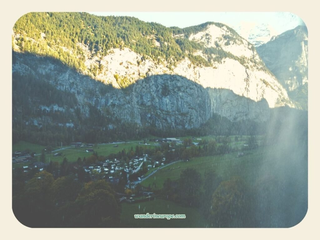
You can also expect to get wet during the hike. This is more likely when it’s windy, and the strong breeze blows the water into a mist in the air.

The view of the winding hiking trail to the viewpoint behind Staubbach Falls in Lauterbrunnen Valley, Switzerland
The view of the winding hiking trail to the viewpoint behind Staubbach Falls in Lauterbrunnen Valley

5. Wengwald

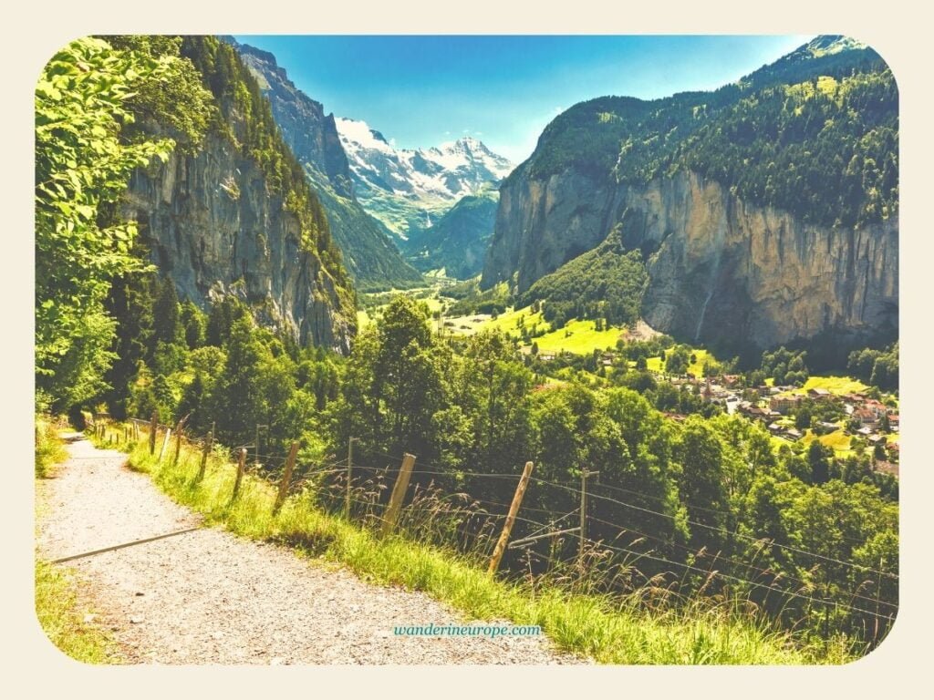
In addition to the previously mentioned locations, Wengwald is another spot in Lauterbrunnen that you must visit for its awe-inspiring views.

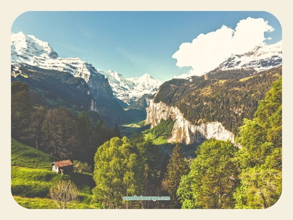
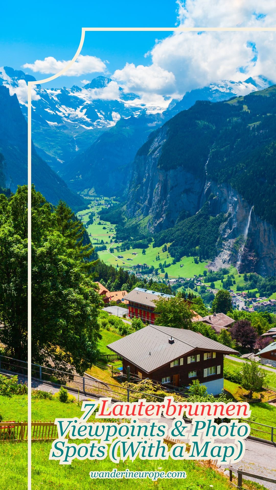
Situated between Lauterbrunnen and Wengen, it boasts what I consider to be the perfect bird’s eye view of Lauterbrunnen.

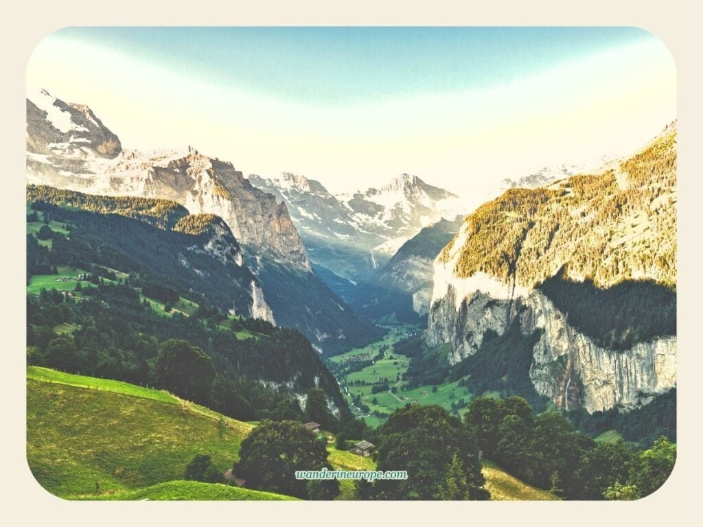
Wengwald offers a viewing angle of Lauterbrunnen that allows you to see the entire length of the valley; at the perfect elevation for beholding the unique trough shape of the Lauterbrunnen valley.

9
10

As a map enthusiast with an interest in geography, the dizzying precipices on both sides of Lauterbrunnen, as seen from Wengwald, have left me in awe.

Their form is truly awe-inspiring.

The flat meadows on the valley floor, along with these precipices, have made me realize the creativity of nature.

Another reason you might like to visit Wengwald is that it’s also a viewpoint for the Jungfrau massif. From Wengwald, you can spot the snowy Jungfrau overlooking the Lauterbrunnen valley.

If you want to see Lauterbrunnen at its most spectacular, I suggest going to Wengwald during sunrise, but only when the sky is clear.

If you’re lucky, you can witness the sun painting the right side (the west precipice) of the Lauterbrunnen valley with vivid bright colors, gradually from top to bottom.

Visitors unable to catch the sunrise at Wengwald and witness the morning spectacle of the Lauterbrunnen valley can visit at their convenience. The view is a visual feast throughout the year.

However, I would advise against it when fog blankets the valley, obscuring the scenery…

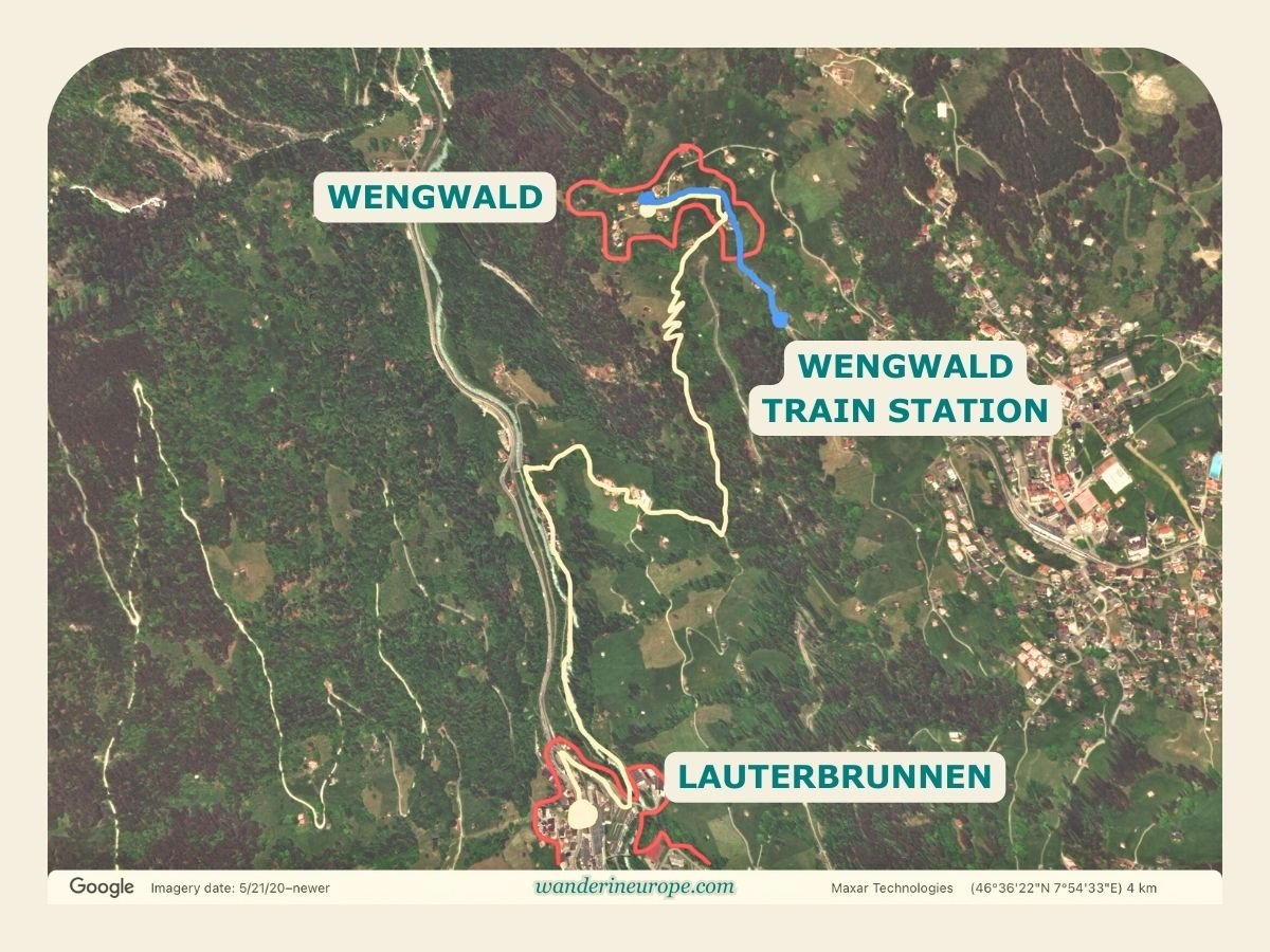
There are two ways you can get to Wengwald from Lauterbrunnen:

  1. Hiking = 1.5 hours, 3 kilometers, 410-meter elevation gain
  2. Train + Hiking = 8-minute train ride to Wengwald train station, then a 10-minute hike (0.6 kilometers) downhill to Wengwald viewpoint.

You can check the map below as a guide.

Hiking path from Lauterbrunnen to Wengwald (Yellow = Lauterbrunnen to Wengwald; Blue = Hike to Wengwald from Wengwald train station), Lauterbrunnen, Switzerland
Hiking path from Lauterbrunnen to Wengwald (Yellow = Lauterbrunnen to Wengwald; Blue = Hike to Wengwald from Wengwald train station),

The yellow line indicates the hiking trail from Lauterbrunnen to the viewpoint in Wengwald.

Conversely, the blue line shows the path from the Wengwald train station to the vantage point in Wengwald.

You can see Lauterbrunnen from most parts of Wengwald. There are wide-open meadows and benches where you can rest and relax while taking in the beauty of the valley.

If you prefer a more secluded space, consider hiking to the far corner of Wengwald, past Ferienwohnung Chalet Mönchsblick.

6. Hiking Trail Between Lauterbrunnen & Wengen

As previously mentioned in my introduction, Wengen is another village in Lauterbrunnen.

Perched on a sun terrace overlooking the valley, you can find scenery that’s almost as beautiful as what you can see from Wengwald.

However, did you know that you don’t have to do a 1.5-hour hike to Wengwald or hop on a train to get to Wengen to see such stunning views of Lauterbrunnen?

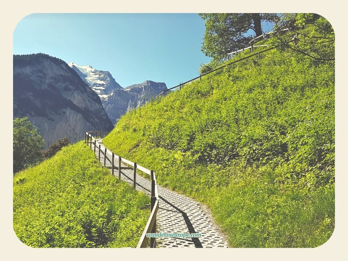
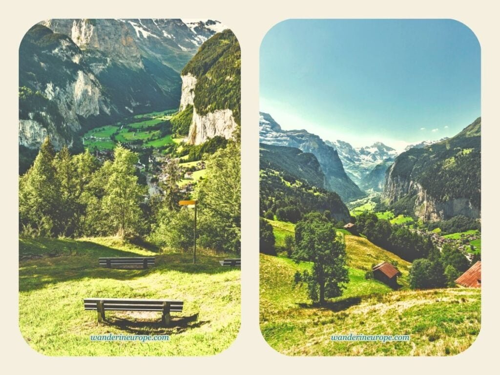
Another awe-inspiring view of the valley awaits you east of Lauterbrunnen, and it’s only a 30-minute hike from the village center.

There’s no specific name for this vantage point, but it’s very easy to reach while hiking the trail that links Lauterbrunnen and Wengen. Take a look:

9
10

When you reach this point, you can literally spot the farthest end of the Lauterbrunnen valley to the south, bordered by the 3000-meter-high Breithorn and Grosshorn.

On a sunny day, you will see the precipice layers of the Jungfrau massif. Amazingly, rhis viewpoint has a waiting shed, which serves as its landmark. You can rest while admiring the surrounding scenery.

This spot also offers a beautiful vantage point of the Staubbach waterfall and the mountain range where Schilthorn is located.

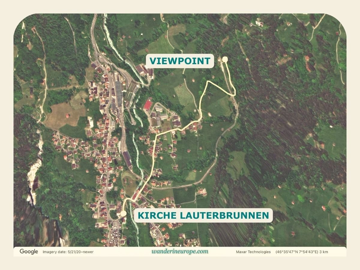
Let’s say you’re already on Stocki Road; this viewing spot along the Lauterbrunnen-Wengen hiking trail would be just a 25-minute hike away.

Overall, it’s an easy hike with only a 140-meter elevation gain throughout the course. Here’s a map to help you visualize the path:

The viewpoint along the hiking trail to Wengen from Lauterbrunnen (map and route), Switzerland
The viewpoint along the hiking trail to Wengen from Lauterbrunnen (map and route)

7. Hiking Trail Between Lauterbrunnen & Stechelberg

The beauty of Lauterbrunnen isn’t confined to the village and isn’t solely observed from the elevated vantage points overlooking the valley.

If viewing Lauterbrunnen from its vantage points is a glimpse of heaven on earth, then the hiking trail between Lauterbrunnen and Stechelberg is a taste of it.

9
10

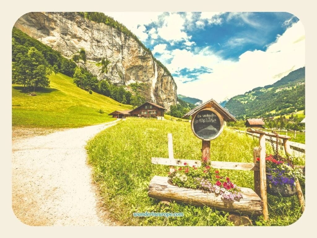
The middle part of the Lauterbrunnen valley is one of the most idyllic and rustic parts of the Jungfrau Region.

Hiking there is a wholesome experience—your senses are filled with overwhelming peace and tranquility.

While hiking, all you can expect to hear are the travelers’ footsteps on the gravel, birds chirping, and cowbells ringing. You can also hear the thundering waterfalls far away on both sides of the valley.

The small chalets and barns dotting the lush meadows where cattle graze present an otherworldly scene, especially for someone like me, who has lived in the city since birth.

Not to mention the breathtaking and towering cliffs surrounding the trail—these are far more impressive to behold than the steel and glass skyscrapers in the city.

Overall, your journey to this part of Lauterbrunnen is more than just sightseeing.

It’s about cleansing your lungs, clearing your mind, and filling yourself with awe, thereby becoming a better individual.

The hike from Lauterbrunnen (Kirche Lauterbrunnen) to Stechelberg takes about an hour to complete—a 5-kilometer journey. You can expect it to last longer as you may pause to rest or admire the heavenly views you’ll encounter along the way.

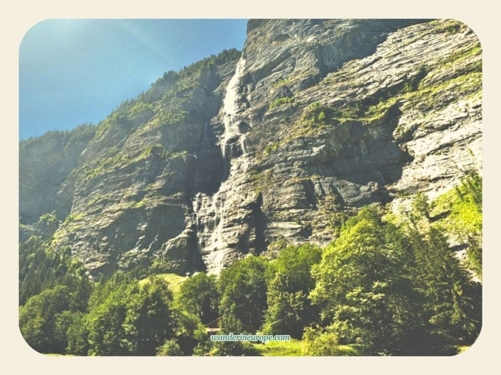
One of the wonders you’ll encounter along the hiking trail is Murrenbach Falls—the tallest waterfall in Switzerland, standing at 417 meters. Perched above it is Murren, the highest village in Lauterbrunnen.

Another tourist attraction in the Lauterbrunnen Valley is Trummelbach Falls, Europe’s largest subterranean waterfall, boasting several levels and viewing points. More information can be found on its official website, linked at the end of this post.

If you prefer, you could consider hiking in the opposite direction, from Stechelberg to Lauterbrunnen.

To do this, take bus #141 from Lauterbrunnen to Stechelberg. You should arrive in Stechelberg about 10 minutes after departing from the village.

The last time I checked, there were eight bus stops between Lauterbrunnen and Stechelberg. These stops allow you to start and end your hike at different parts of the valley as you wish.

Lauterbrunnen Viewpoints Exact Location (Map)

9

Below are the maps that show the exact location of the viewpoints in Lautebrunnen.

Map of Lauterbrunnen Valley, Switzerland
Map of Lauterbrunnen Valley

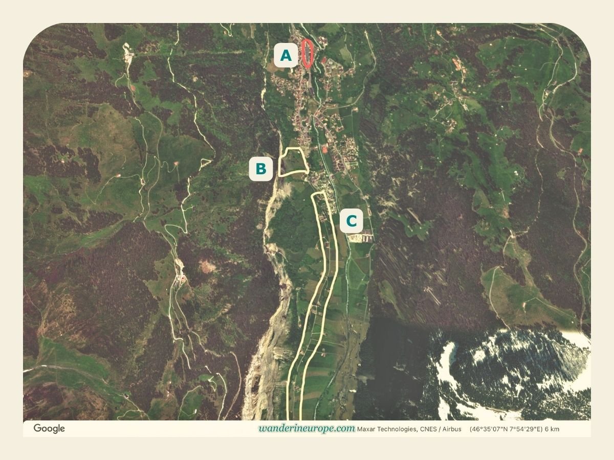
The portions of the map above encircled by a yellow line indicate the villages and hamlets in Lauterbrunnen. Then, the part of the map highlighted in yellow is the Lauterbrunnen area, where some breathtaking vantage points of the village and valley are located. There are seven viewpoints in Lauterbrunnen that you can visit for truly stunning scenery. The zoomed-in maps of Lauterbrunnen below show their exact locations.
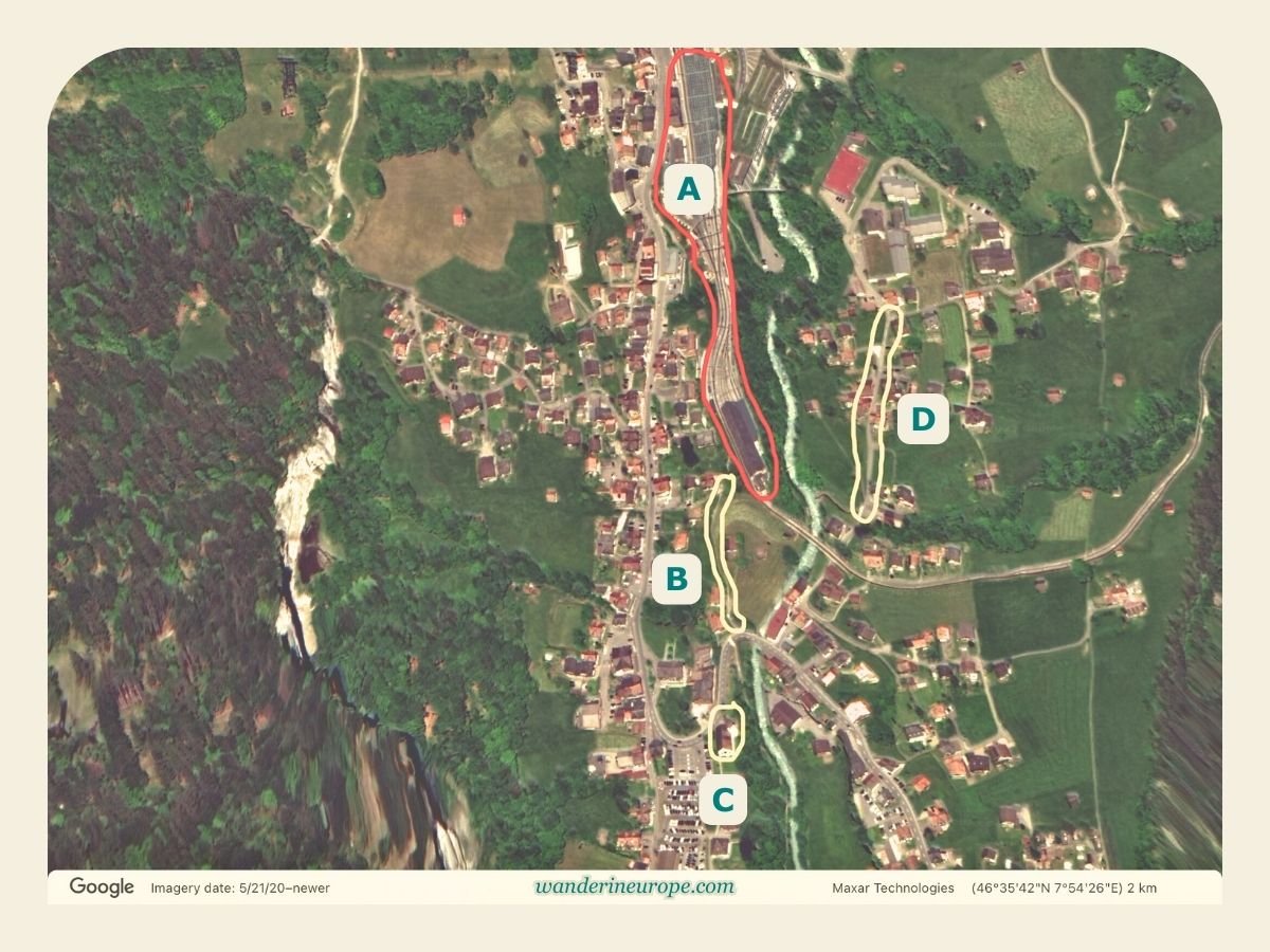
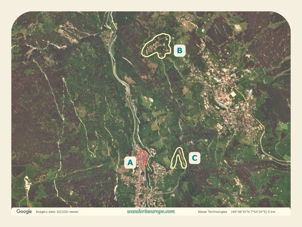
Train station (A), Chalet Pironnet Viewpoint (B), Kirche (C), Stocki Road (D) - Map of Lauterbrunnen, Switzerland
Map of Lauterbrunnen (PART 1) — (A) Train station, (B) Chalet Pironnet Viewpoint, (C) Kirche, (D) Stocki Road
Train station (A), Wengwald (B), Lauterbrunnen-Wengen hiking trail viewpoint (C) - Map of Lauterbrunnen, Switzerland
Map of Lauterbrunnen (PART 2) (A) Train station, (B) Wengwald, (C) Lauterbrunnen-Wengen hiking trail viewpoint
Train station (A), Staubbach Falls (B), Lauterbrunnen-Stechelberg hiking trail viewpoint (C) - Map of Lauterbrunnen, Switzerland
Map of Lauterbrunnen (PART 3) — (A) Train station, (B) Staubbach Falls, (C) Lauterbrunnen-Stechelberg hiking trail viewpoint
10

Viewpoints Exact Location (Resources)

So, those are beautiful viewpoints in Lauterbrunnen. I hope you enjoy your trip to Lauterbrunnen and that it proves to be both memorable and rewarding!

If you’re using Google Maps to explore beautiful places, the links below will quickly direct you to the locations of the viewpoints and places of interest mentioned in this post.

  1. Chalet Pironnet
  2. Kirche Lauterbrunnen
  3. Chalet 165 (along Stocki Road)
  4. Staubbach Falls
  5. Wengwald viewpoint
  6. Viewpoint in Lauterbrunnen-Wengen hiking trail
  7. Hiking information Lauterbrunnen-Stechelberg

A while ago, I mentioned that you can find Trummelbach Falls along the road/hiking trail between Lauterbrunnen and Stechelberg. Here is the link to its official website to learn more about its visiting information: Trummelbach Falls (Official website).

Blog Design Curly Divider
Blog Design Related Posts

If you’re interested in experiencing more breathtaking views in the Jungfrau Region beyond Lauterbrunnen, consider visiting Harder Kulm and Mannlichen. In my opinion, they offer the most panoramic views in all of the Jungfrau Region or Bernese Oberland. Check them out! 😍

Featured Image, How to Reach Männlichen and Make the Most of Your Trip
Featured Image, Visiting Harder Kulm Here’s What You Can Expect To See
Featured Image, Best Way to Spend 3 to 4 Days in Interlaken (on a Budget)

Similar Posts

Leave a Reply

Your email address will not be published. Required fields are marked *